Physical Address
304 North Cardinal St.
Dorchester Center, MA 02124
Physical Address
304 North Cardinal St.
Dorchester Center, MA 02124

An introduction to modern Geographic Information Systems (GIS) techniques, approaches and all the cutting edge GIS technologies.
Geographic Information Systems (GIS) are sophisticated computer-based frameworks designed to collect, store, analyze, manage, and visualize spatial data. These systems enhance our understanding of complex geographic phenomena by identifying patterns and relationships through spatial representation. GIS supports decision-making across various professional fields, including environmental science, urban planning, disaster management, agriculture, and commercial logistics. By combining spatial data with descriptive attributes, GIS facilitates detailed spatial analyses and effective communication of geographic insights.
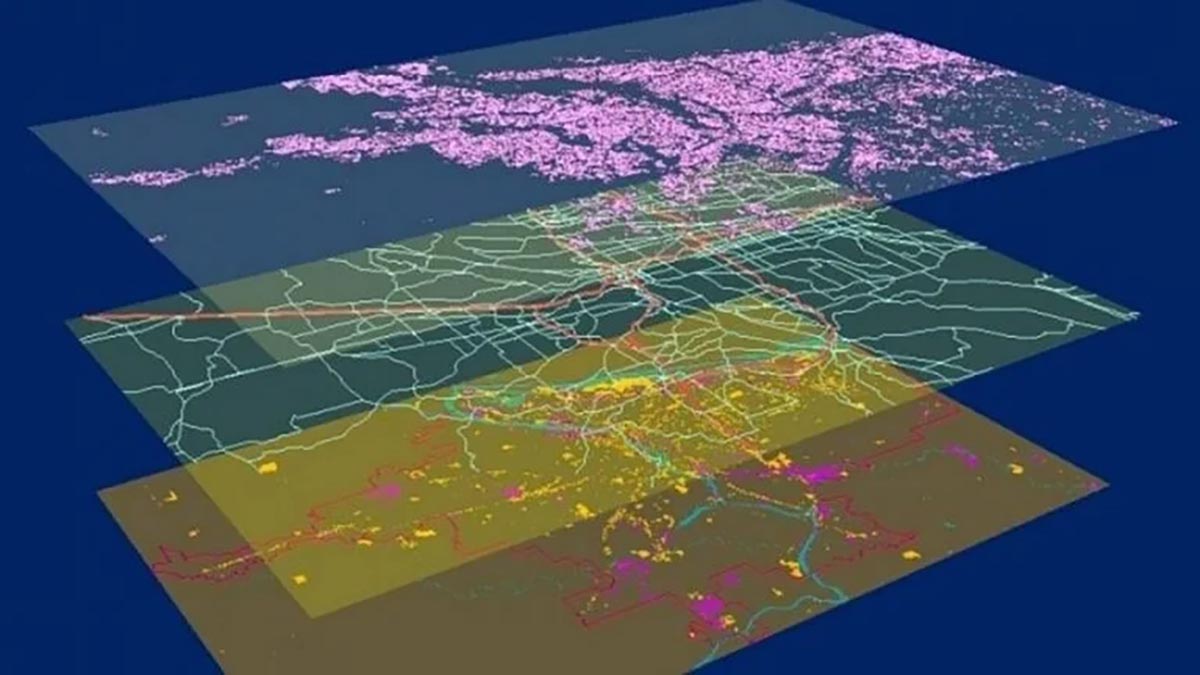
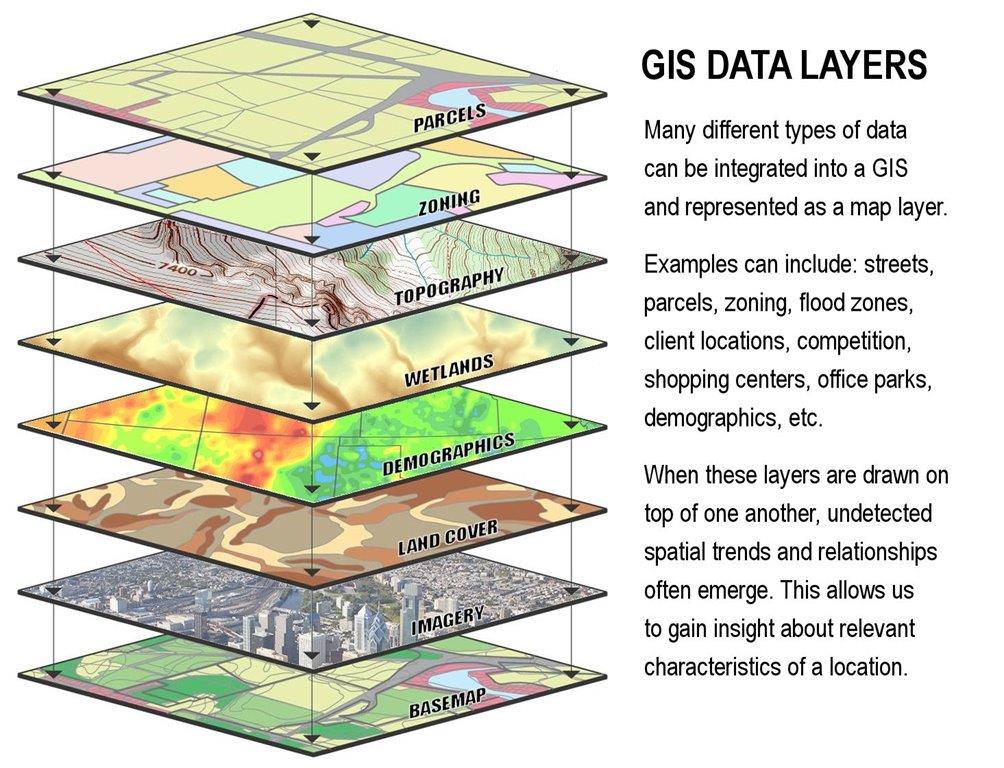
Spatial analysis is central to GIS, involving methods such as layering thematic datasets to examine and interpret geographic information. Common examples include overlays of land-use classifications, demographic distributions, transportation networks, and natural resources. This layered approach helps identify spatial patterns and trends that traditional statistical methods might miss. For example, urban planners use GIS to determine optimal locations for infrastructure development, while environmental researchers leverage GIS to predict the impacts of climate change on ecosystems.
GIS technology is grounded in Geographic Information Science (GIScience), an interdisciplinary field providing foundational theories, methodologies, and analytical techniques essential for GIS functionality. GIScience incorporates various sub-disciplines, including cartography, geodesy, photogrammetry, remote sensing, and spatial statistics. These fields contribute critical expertise and tools, enhancing the effectiveness of GIS. Continuous advancements in data acquisition, computational capabilities, and analytical methods continually refine the relationship between GIS and GIScience.
GIS incorporates multiple types of data layers, each representing specific geographic features or information. Common GIS data layers include:

Nonetheless, modern GIS techniques also include closer to the ground information such as:
The true power of GIS comes from integrating the multiple collected data layers into a cohesive, holistic system of cross-correlated information. Effective GIS analysis often involves integrating multiple data layers. Common methods and approaches for data layer integration include:
For a more in-depth article about Data Layer integration in GIS go to the following article: Data Layering in GIS: Combining Multiple Data Layers in Maps.
The versatility of GIS technologies allows numerous applications across diverse sectors. In urban planning, GIS supports sustainable land-use optimization and management of urban growth. Emergency services rely on GIS for real-time disaster mapping, improving response times and resource allocation. In agriculture, GIS-driven precision agriculture techniques help monitor soil conditions, crop health, and irrigation systems, enhancing productivity and environmental sustainability. Businesses utilize GIS for market analysis, optimizing delivery routes, and enhancing customer interactions through spatial insights.
For an actual implementation of GIS using cross-correlated databases see: Deep Mapping, a system whose purpose is to gather enough information in order to map and ‘understand’ and contextualize the history and evolution of a city and its buildings, infrastructure, areas and structures.
Click here to go to the Deep Mapping article.
Emerging technologies continually expand GIS capabilities. Innovations such as real-time data analytics, cloud computing, artificial intelligence integration, and augmented reality visualization significantly improve GIS functionality and user accessibility. These advancements enable more interactive, intuitive, and powerful GIS applications, increasing the potential for widespread adoption across various user groups and organizations.